
Prepare for the Nor’easter: Adelphi University News Shares Coastal Flooding and New York City Weather Safety Guidance
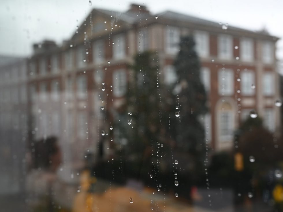
A significant storm system is taking aim at the New York metropolitan area, and residents across Long Island and the five boroughs are being urged to get ready now. According to the latest USA News weather tracking, a nor’easter is expected to bring steady rain, elevated winds, and the threat of coastal flooding to Long Island and New York City from Friday, September 25, through Sunday, September 27. Adelphi University’s Public Safety and Facilities departments are closely monitoring conditions and have issued guidance to help students, employees, and neighboring communities stay safe throughout the weekend.
Local authorities have already released warnings covering possible power disruptions, water ponding on local roads, and flooding in low-lying coastal zones. Whether you live on campus, commute from Nassau County, or work anywhere in the broader New York City weather zone, understanding the risks and taking practical precautions before Friday evening can make a meaningful difference.
For those connected to the Adelphi community, review the full weather notice and explore the University’s safety resources on the Public Safety and Transportation website to stay current on any operational updates as the storm develops.
What the Nor’easter Forecast Means for Long Island and New York City Weather
Nor’easters are powerful extratropical storms that take their name from the strong northeasterly winds that blow ashore as the system intensifies off the Atlantic coast. These storms are a familiar feature of autumn and winter in the Northeast, but they remain unpredictable and deserve serious attention. This weekend’s system is projected to deliver several distinct hazards:
- Steady, persistent rainfall capable of producing localized street flooding, especially in areas with poor drainage.
- Elevated winds strong enough to down tree limbs, scatter debris, and strain power lines across Long Island and New York City.
- Coastal flooding driven by onshore winds and elevated tides, with the greatest risk during high tide cycles.
- Possible power disruptions as wind and rain combine to damage utility infrastructure.
Forecast timing matters. The nor’easter is expected to affect the region from Friday, September 25, through Sunday, September 27, which means conditions may change quickly and repeatedly over the course of the weekend. A lull in the rain on Saturday morning does not signal the end of the event. Residents should treat the entire window as an active weather period and continue checking official forecasts rather than relying on a single morning update.
Why Coastal Flooding Deserves Special Attention
Of all the hazards associated with this nor’easter, coastal flooding is often the most underestimated. Long Island’s geography, with its extensive south shore bays, north shore harbors, and low-lying barrier communities, makes it particularly vulnerable when strong onshore winds coincide with high tides. Water can inundate coastal roads, spill into parking areas, and isolate neighborhoods well inland of the beachfront.
New York City faces its own version of this risk. Neighborhoods along the harbor, the Jamaica Bay shoreline, and the waterfront edges of Brooklyn and Queens have historically seen floodwater pool on streets and enter ground-level structures during comparable storms. Because flooding often occurs at night or during high tide cycles that shift with each passing day, residents should learn the local high tide times and be alert during those windows.
It is worth emphasizing a point that emergency managers repeat every season: floodwater is rarely as harmless as it looks. Just twelve inches of moving water can carry away a small vehicle, and even shallower water can hide washed-out road surfaces, downed electrical lines, and debris. The University’s notice underscores this directly, advising all community members to strictly avoid driving or walking through deep water or flooded roadways.
How Adelphi University Is Monitoring the Storm
Preparedness at the institutional level plays a critical role in protecting a campus community, and Adelphi University has mobilized the departments best positioned to respond. The University’s Public Safety and Facilities teams are tracking meteorological updates around the clock, coordinating with local authorities, and standing ready to address on-campus issues ranging from downed branches to drainage problems.
This kind of active monitoring serves two purposes. First, it allows the University to respond quickly to any facilities issue that arises during the storm, protecting buildings and the people inside them. Second, it positions campus leadership to communicate timely guidance to students, faculty, and staff as conditions evolve. For a residential campus in Garden City, New York, where community members travel daily between campus and points across Long Island and New York City, that communication chain is essential.
Students and employees are encouraged to keep university alert systems active and to check official channels regularly throughout the weekend. If you have questions about campus operations or want to confirm that your contact information is current, reach out through the University’s One-Stop Student Services or your human resources contact before the storm arrives.
Practical Safety Steps to Take Before Friday Evening
The hours before a nor’easter makes landfall are the most valuable for preparation. Once heavy rain and high winds move in, options narrow considerably. Here is a practical checklist drawn from established emergency management guidance:
Secure Your Living Space
- Bring outdoor furniture, trash bins, and decorative items indoors or anchor them securely. Loose objects become dangerous projectiles in high wind.
- Clear storm drains and gutters near your residence if it is safe to do so, reducing the chance of water backing up during heavy rain.
- If you live in a basement or ground-level unit in a flood-prone area, move valuables and electronics to higher surfaces.
Prepare for Possible Power Disruptions
- Charge phones, laptops, portable batteries, and any medical devices well before Friday evening.
- Keep flashlights and spare batteries accessible rather than stored in a hard-to-reach closet. Avoid candles, which raise fire risk during a storm.
- Stock shelf-stable food and bottled water sufficient for at least 24 to 48 hours, since downed lines can delay power restoration.
- Know how to report an outage to your utility provider, and treat every downed wire as live and dangerous.
Plan Your Travel Around the Storm
- Complete errands, refuel vehicles, and rearrange any Friday evening or weekend travel plans before conditions deteriorate.
- If you must travel during the storm, build in extra time, reduce speed, and increase following distance. Wet roads and gusting crosswinds demand more caution than everyday conditions.
Taking these steps now reduces stress later and keeps first responders free to handle genuine emergencies rather than preventable situations.
Flood Safety on the Roads: The Advice That Saves Lives
The single most important message in any coastal flooding event is also the simplest: never drive or walk through floodwater. The University’s weather notice repeats this warning for good reason. National weather safety campaigns distill it into the phrase “Turn Around, Don’t Drown,” and the underlying physics support it. Vehicles can float and stall in surprisingly shallow water, drivers frequently misjudge depth on unfamiliar roads, and submerged hazards are invisible after dark.
Walking through floodwater carries different but equally serious risks, including hidden open manholes, electrical hazards from submerged equipment, and contamination from mixed stormwater. Parents should keep children away from swollen drainage channels and flooded play areas throughout the weekend.
For residents of coastal Long Island communities, an added caution applies: do not drive around barricades or through standing water on roads marked as flood-prone. Local authorities issue these closures based on known conditions, and bypassing them puts both drivers and rescue personnel at risk. Review the flood safety guidance published by New York State’s Division of Homeland Security and Emergency Services for a complete rundown of preparation, response, and recovery steps.
Staying Informed Throughout the Weekend
Storm conditions change, and the nor’easter currently tracking toward the region is no exception. Small shifts in the storm’s track can change rainfall totals, wind intensity, and the extent of coastal flooding across Long Island and New York City. Because of this variability, plan to check weather updates at least twice a day through Sunday evening, and more often if you live in a coastal zone.
Reliable information sources include the National Weather Service’s New York office, New York State’s emergency management agencies, and local municipal alert systems. Members of the Adelphi University community should also monitor university communications, since campus-specific notices about facilities, transportation, and scheduling will be distributed through official channels as needed.
Social media can supplement official sources, but verify any dramatic claims before acting on them or sharing them. During fast-moving weather events, misinformation spreads quickly, and acting on inaccurate information can be as dangerous as ignoring accurate warnings.
Emergency Contacts and Campus Resources
For anyone on or near the Adelphi campus during the storm, knowing where to turn is essential. The University has designated the Public Safety Command Center as the central point of contact for on-campus emergencies and facilities issues. Save the number now rather than searching for it in the middle of the storm:
- Public Safety Command Center (Adelphi University): 516.877.3511
- Life-threatening emergencies off campus: 911
- Flood safety information: New York State Division of Homeland Security and Emergency Services
- General safety resources: Adelphi University Public Safety and Transportation website
If you encounter a flooded roadway, a downed power line, or a blocked drain on public property off campus, report it to the appropriate municipal authority rather than attempting to address it yourself. If you experience an on-campus emergency or facilities issue during the storm, contact the Public Safety Command Center at 516.877.3511 immediately.
Looking Ahead: Building a Habit of Storm Readiness
Weekend storms like this nor’easter offer a useful reminder that severe weather preparedness is not a one-time exercise. Long Island and the New York City area face nor’easters, tropical systems, and intense rain events throughout the year, and the households that weather them best are the ones with habits already in place: charged devices, stocked supplies, known evacuation and high-ground routes, and a reliable flow of official information.
Consider using the days after this storm passes to restock any supplies you use, update your family or roommate communication plan, and note which flood-prone intersections on your regular routes should be avoided in future events. Each preparation cycle builds on the last.
Final Word on This Weekend’s Storm
The forecast for Friday, September 25, through Sunday, September 27, calls for steady rain, high winds, and coastal flooding across Long Island and New York City, and the appropriate response is calm, early, and thorough preparation. Adelphi University’s Public Safety and Facilities departments are monitoring conditions closely and stand ready to support the campus community, but individual readiness remains the most effective line of defense.
Avoid flooded roadways, prepare for possible power disruptions, allow extra travel time, and keep informed through official channels until the system clears the region. Share this guidance with roommates, family members, and neighbors who may not have seen the weather notice, and follow Adelphi University News for continuing updates on campus operations and regional conditions throughout the weekend.
Storms pass, but the safety decisions made in the hours before and during an event determine outcomes. Take the forecast seriously, prepare methodically, and look out for one another until conditions improve early next week.